I've been waiting for this week forever it seems. Too much work and too little play has made Jack a dull boy indeed!
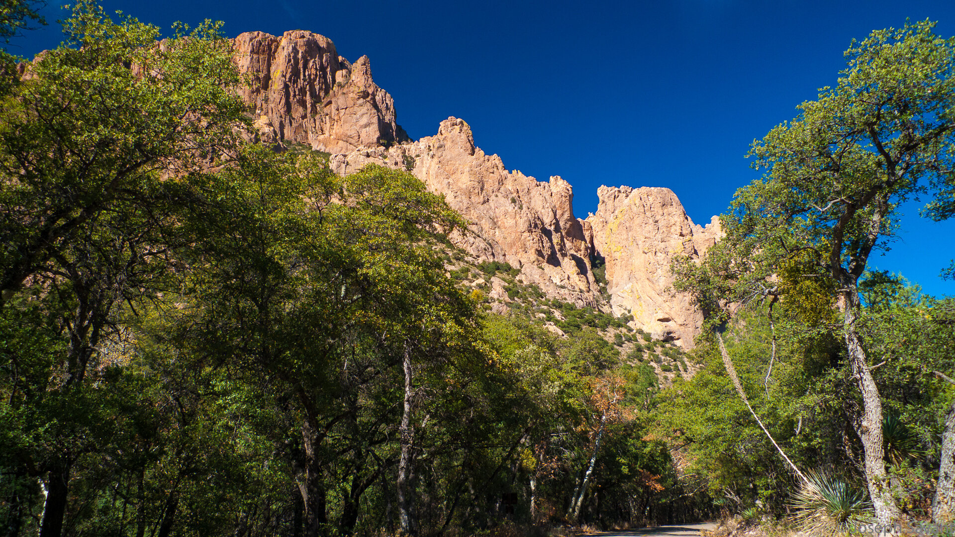
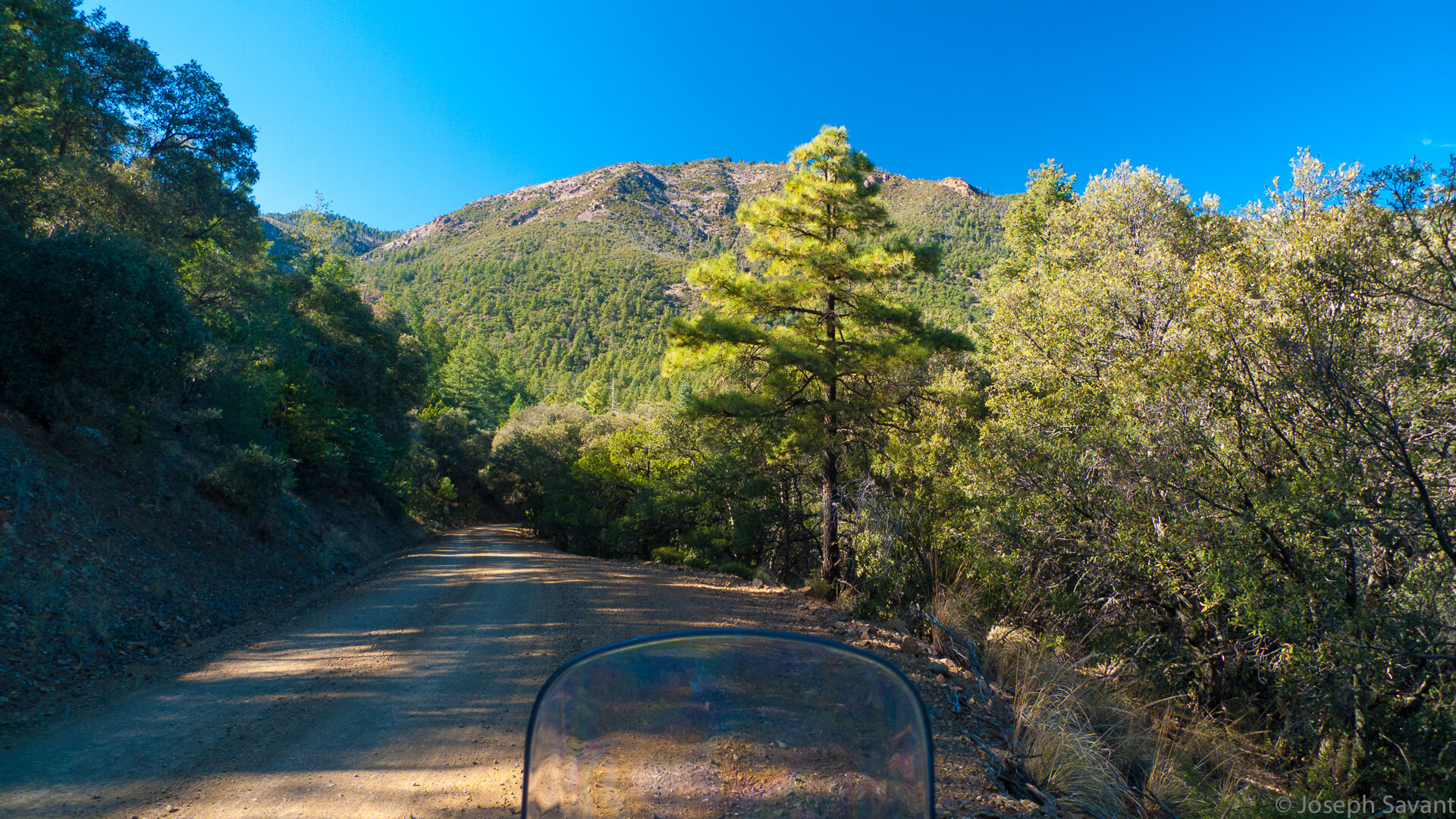
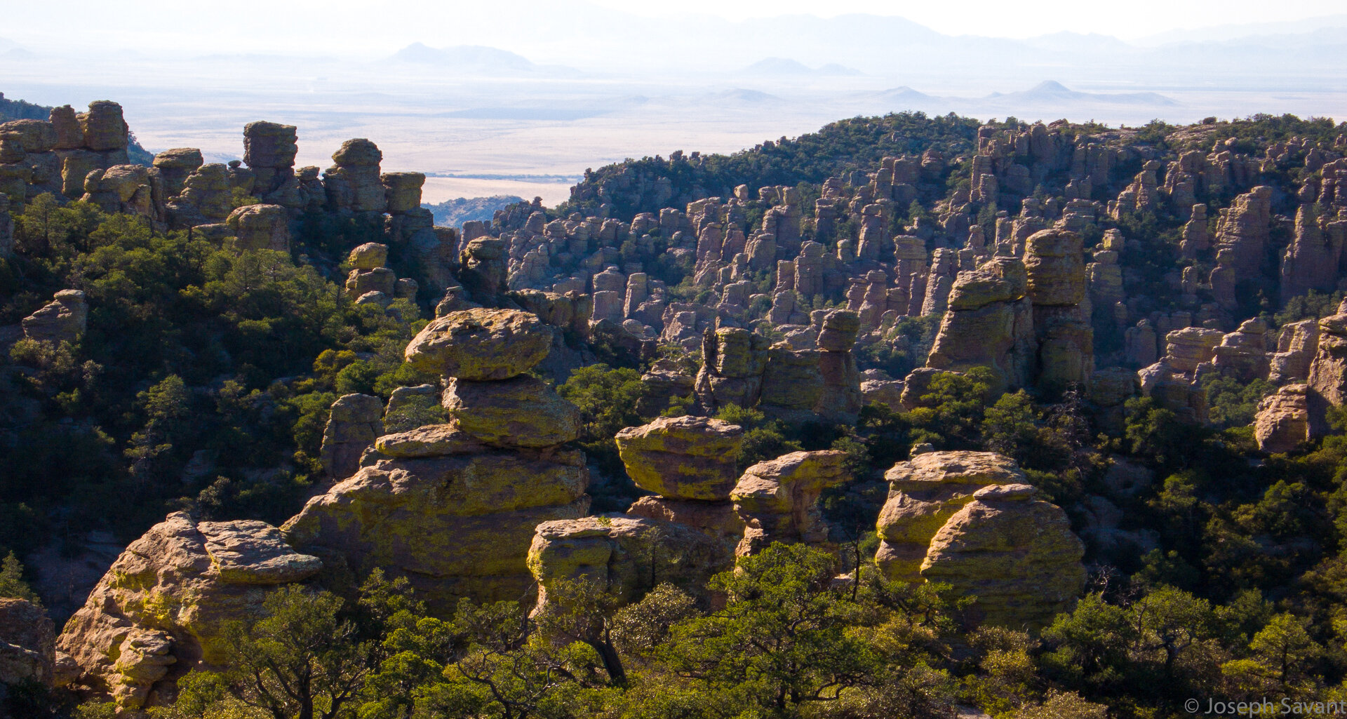
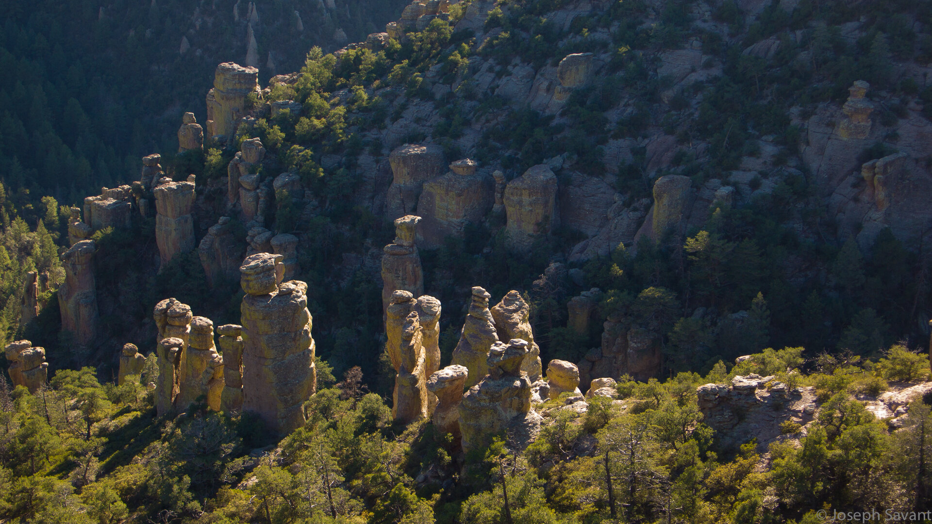
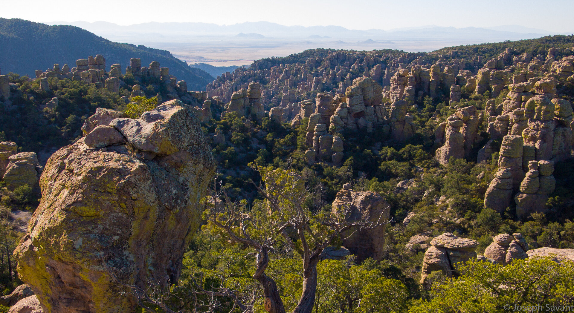
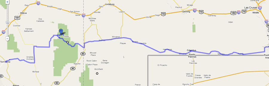
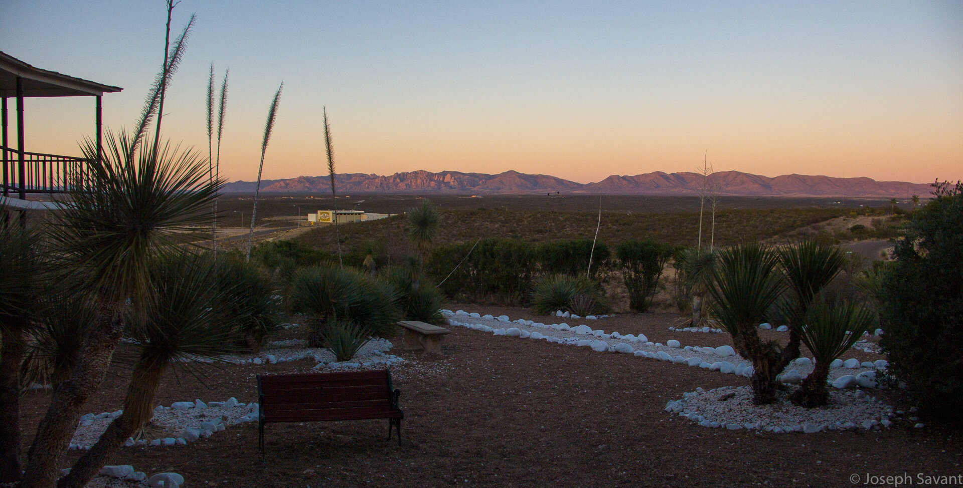
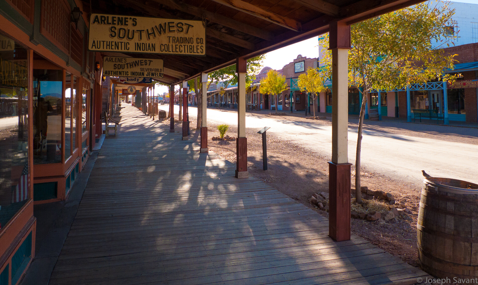
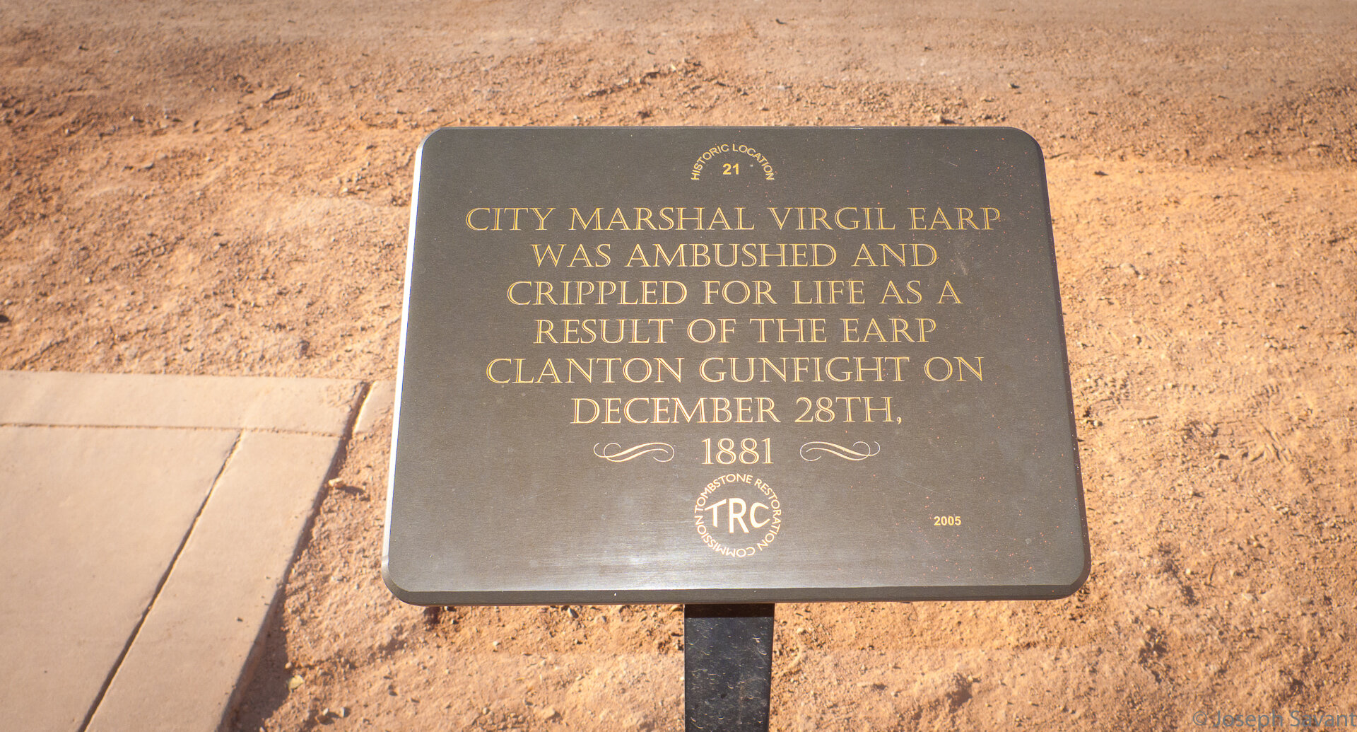
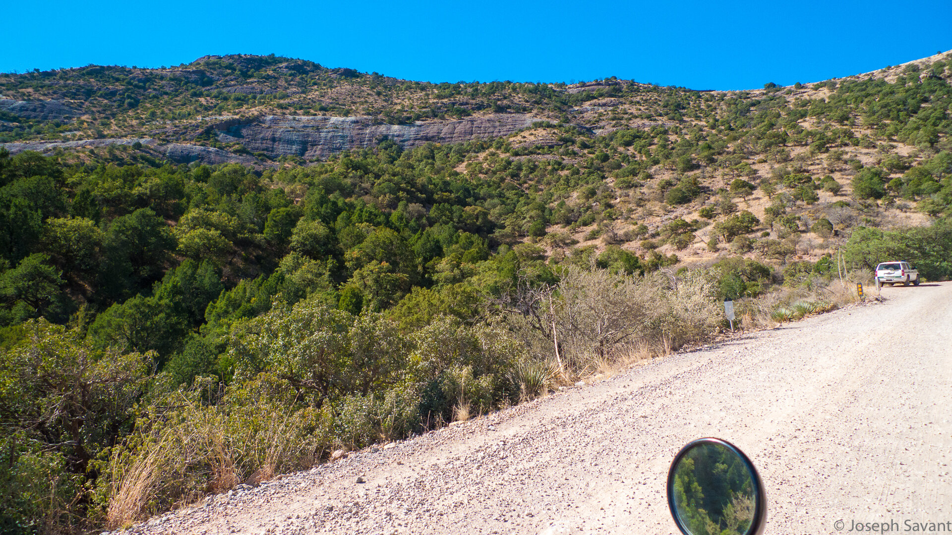
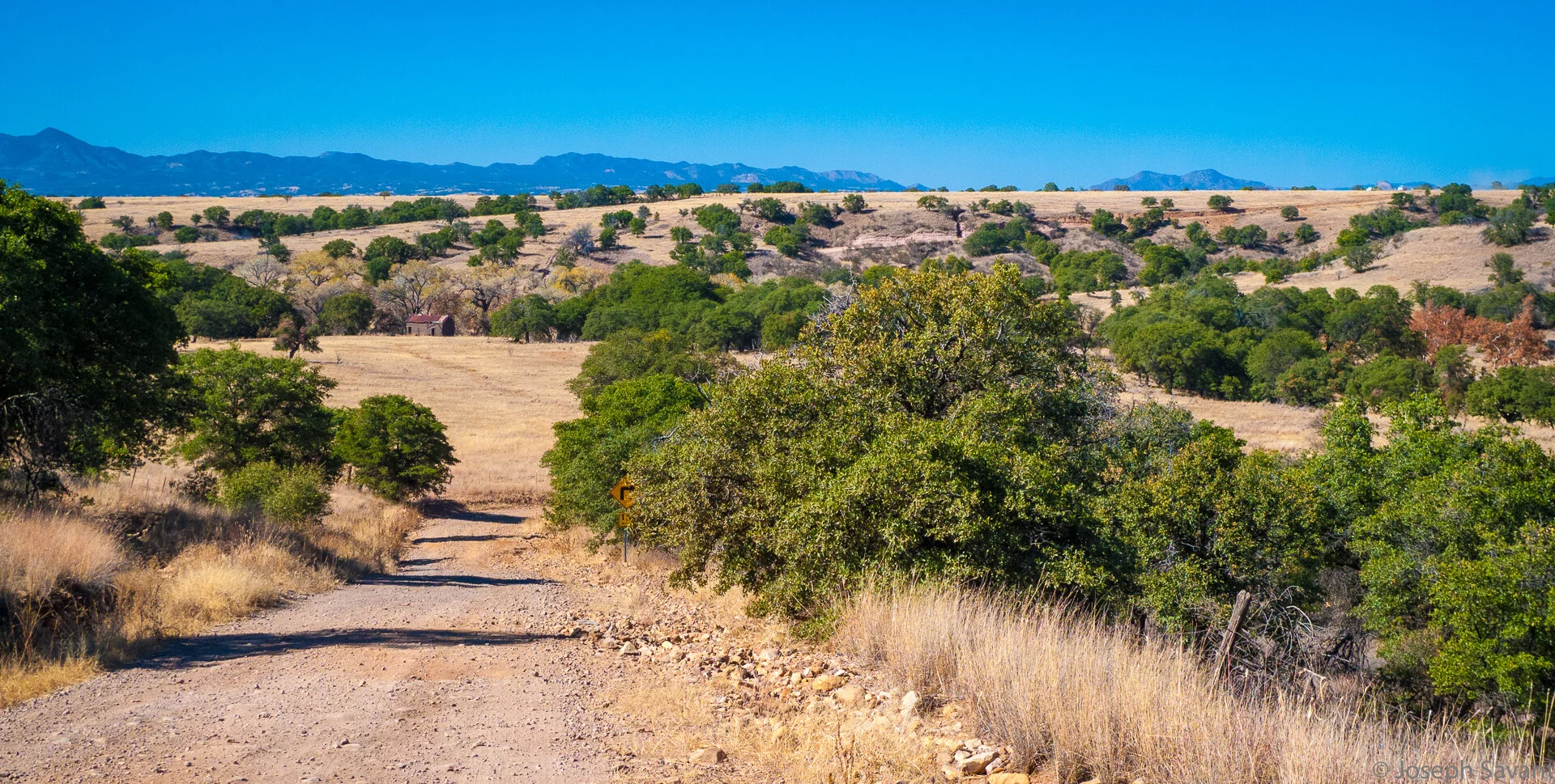
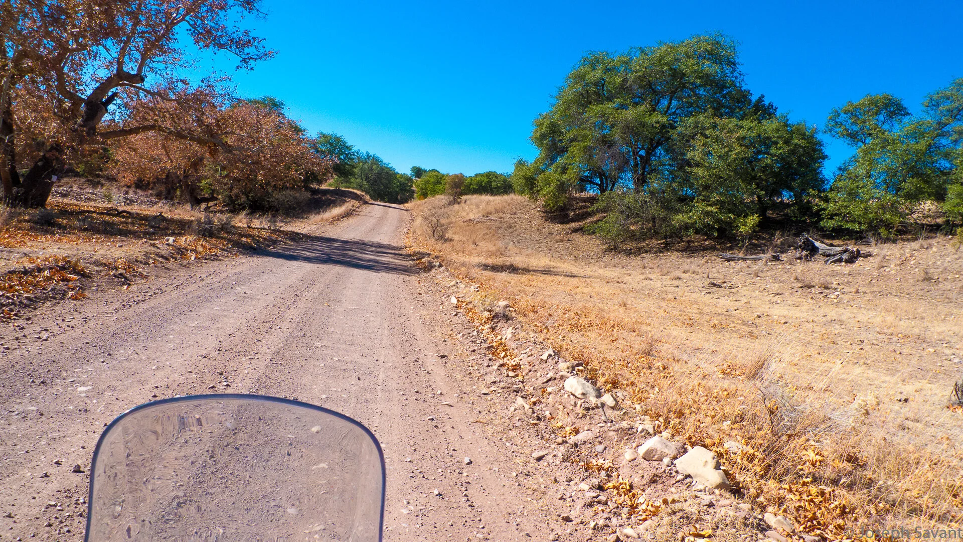
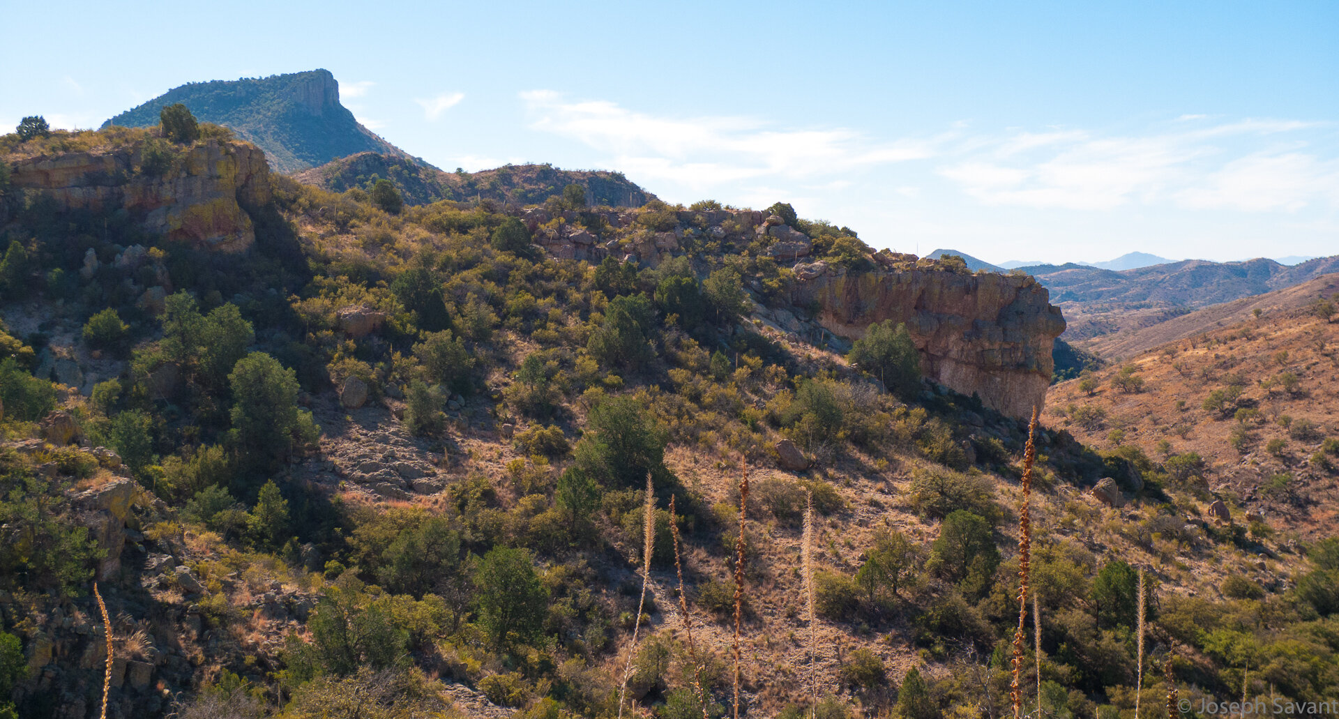
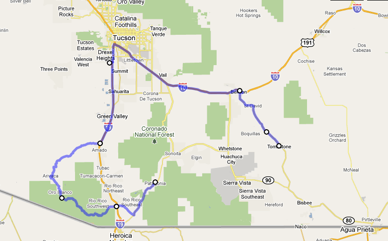
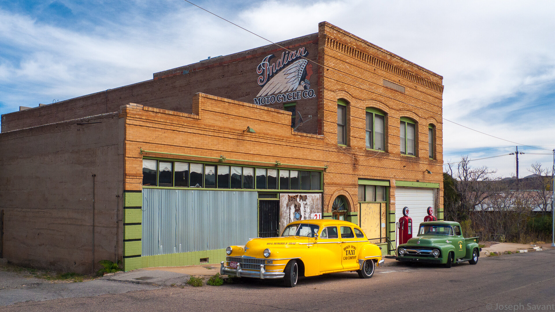
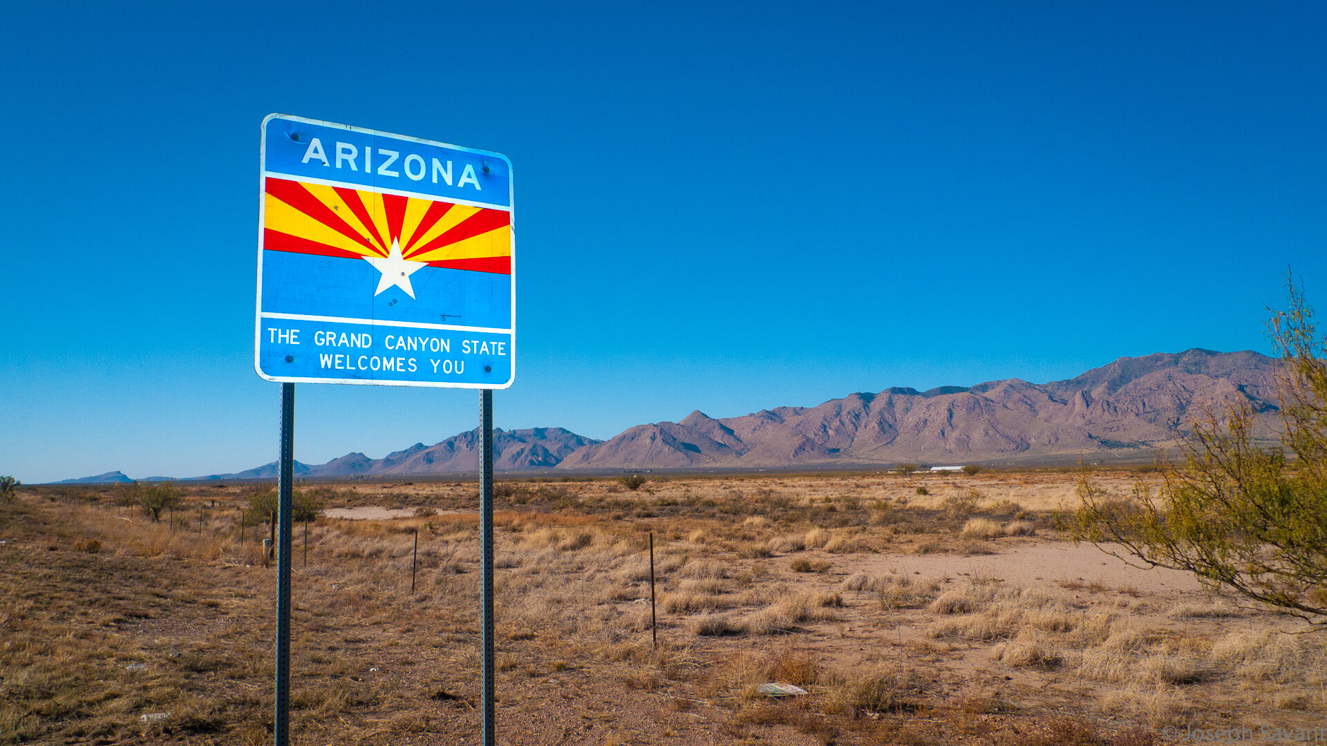
My vapid plan was to leave early Sunday morning at daylight and make haste to El Paso by way of I-10, with intentions of continuing to Tombstone, Arizona and thereabouts. I want to explore the area, including the remote and somewhat dangerous dirt roads along the Mexican border.
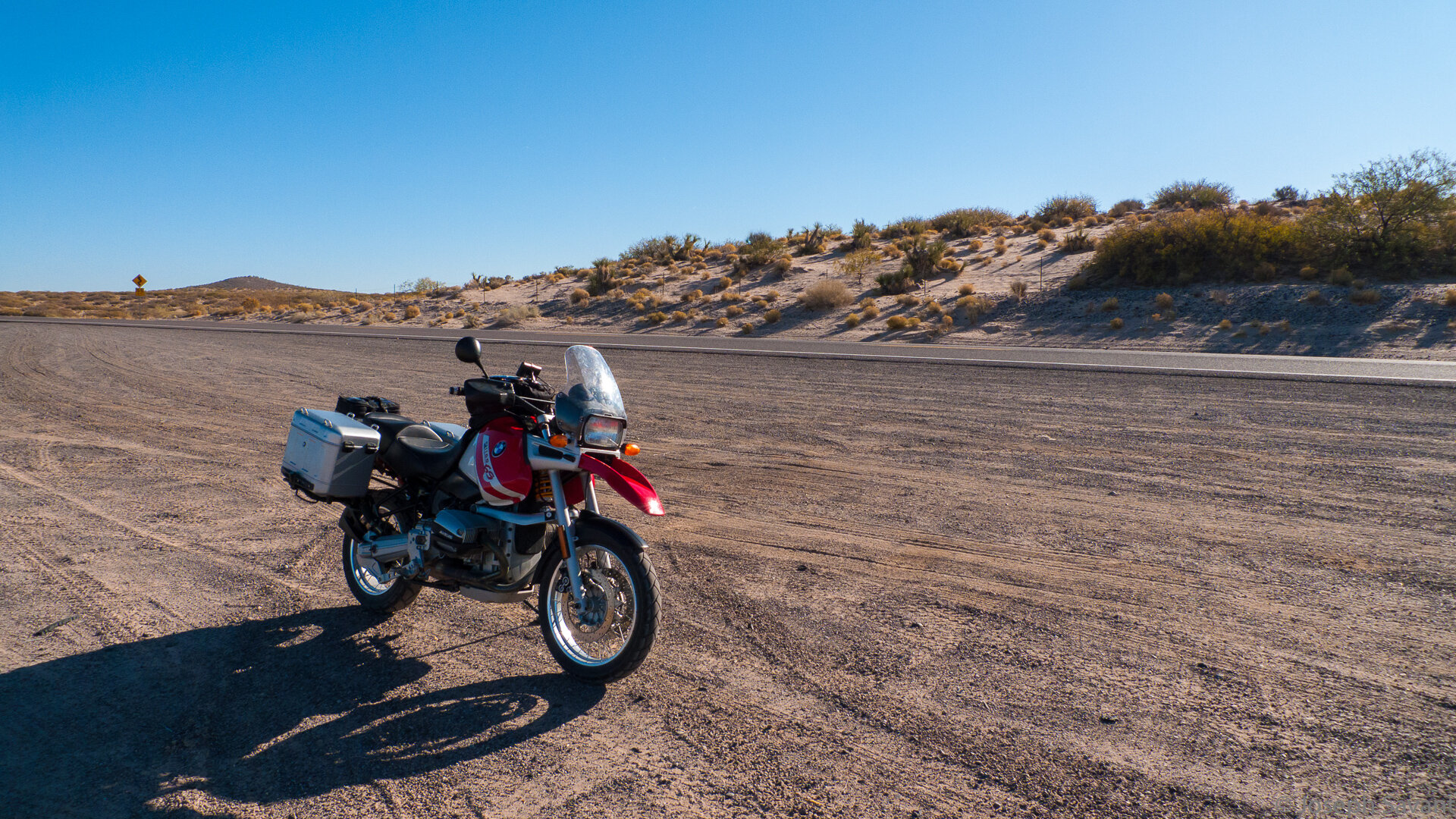
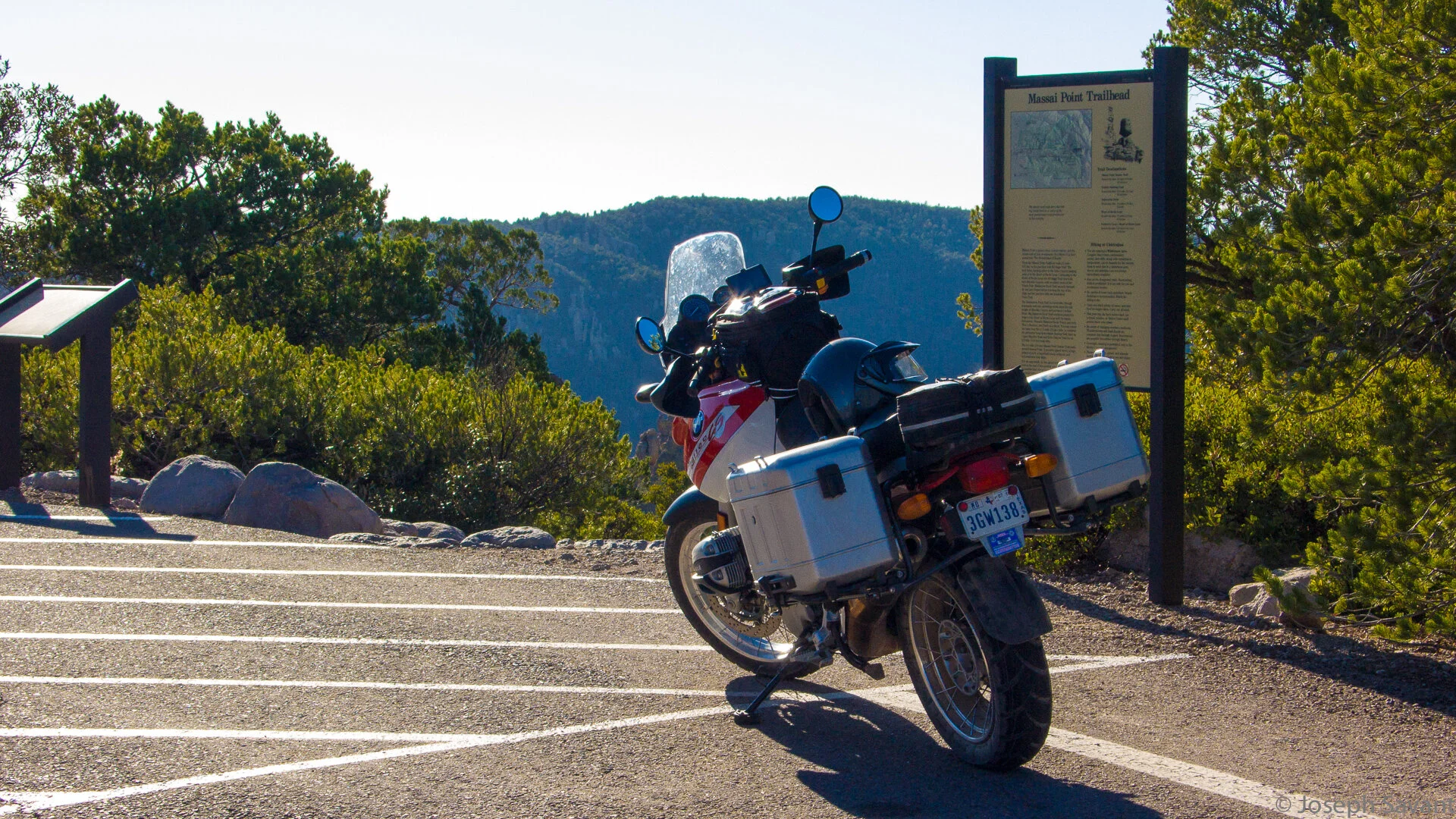
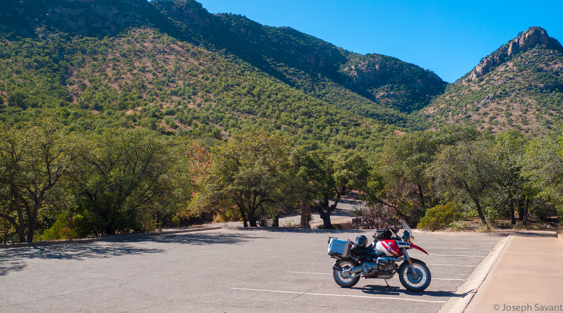
I'd just gotten a new set of aluminum cases for the bike and was anxious to get them on the road and full of too much gear. Unfortunately, I ran out of time Saturday and wasn't able to get my camping gear packed in time, so it will be rough... a hot shower and hotel bed every night. So sad :(
I woke up at 5:50 am, looked around and then promptly fell back asleep. It was a rough night of wrestling with some bad fajitas... I eventually got up, scattered seed for the cows, milked the chickens and finally got the last of the gear on board.
The morning was foggy and cool and by the time the bike was warmed up the clouds were clearing and the air was brisk. It was gonna be a gorgeous day!

The ride in to Kerrville was chilly, but free of any dangerous encounters with deer or the dreaded BlueHairs. I fear them more than anything and Kerrville is the epicenter of Buicks and bluehairs. Consider it Blue Hair Nation. Trust me.
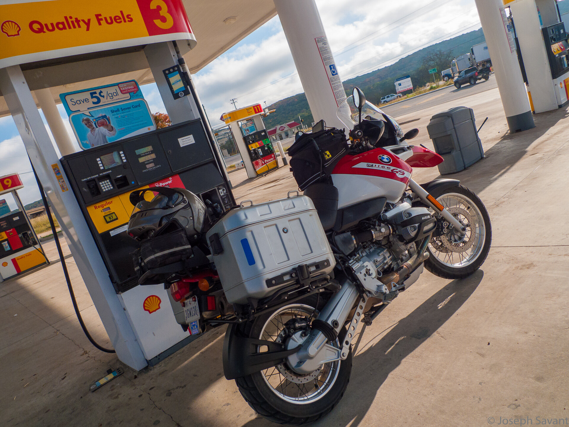
At any rate, after gassing at the Shell I was on the road at 9:30 and the throttle pegged for El Paso. The rush of excitement hit squarely as the bike hit 80 mph and the sign for "El Paso 491 miles" flew by. I knew it was gonna be a long day
After settling in for a while in the buffeting winds, I was passed by a beautiful black Aston Martin doing about 110 or so. James Bond musta had a hot date...
There was a strong headwind and the new GSA cases had more noticeable drag than my older plastic system cases. It took a while getting used to the new sensitivity - the wind definitely moves the bike a bit more. The great thing about I-10 West is that the speed limit is 80, but by the time I hit Junction I could tell the bike was sucking gas more than usual. With the head wind, drag and 5000 rpm to maintain 80-85 mph, I was nearly empty by the time I hit Sonora... yikes! My mileage had dropped to 32 mpg from the usual 42 or so. Isn't this terribly interesting?

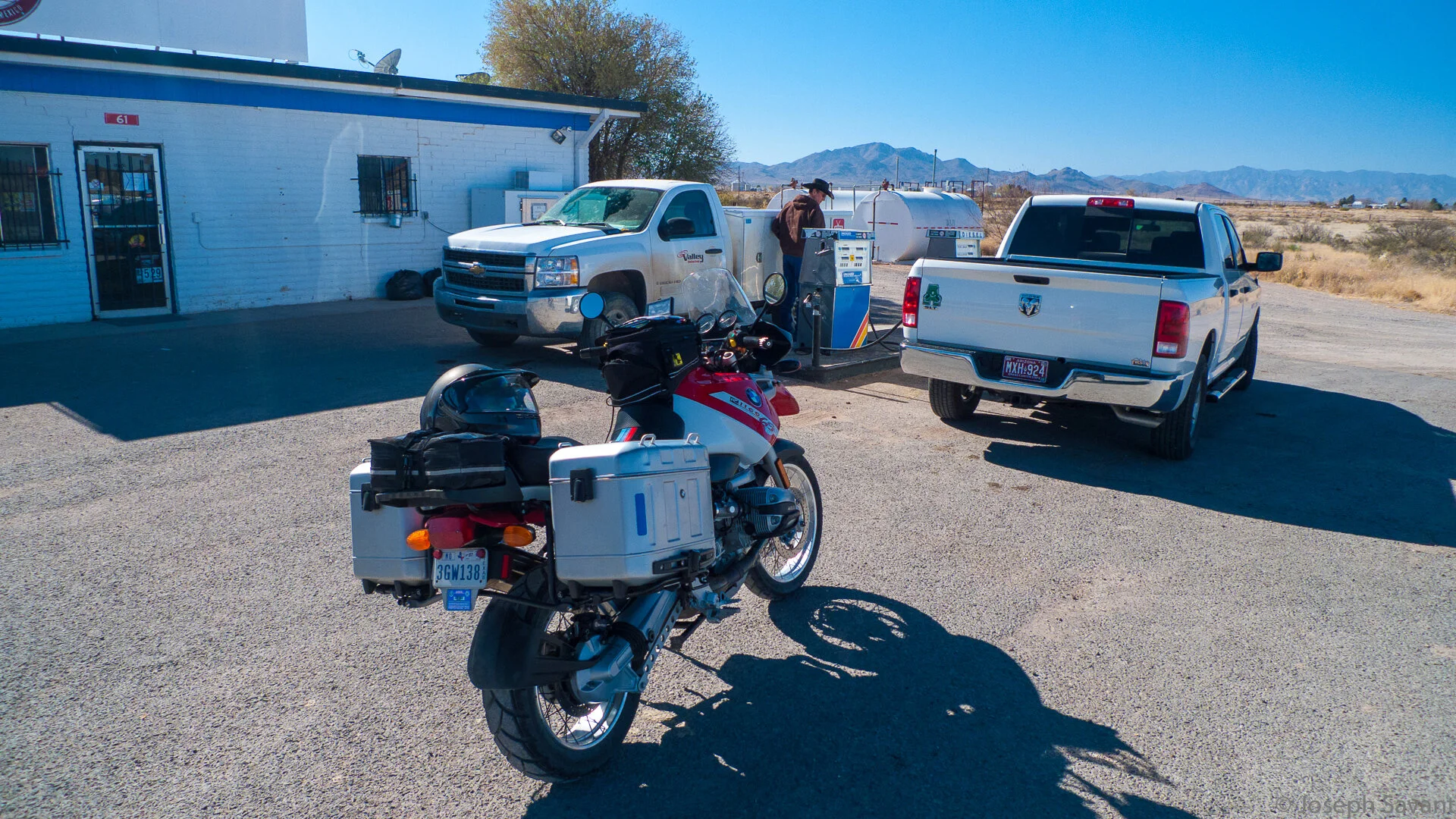
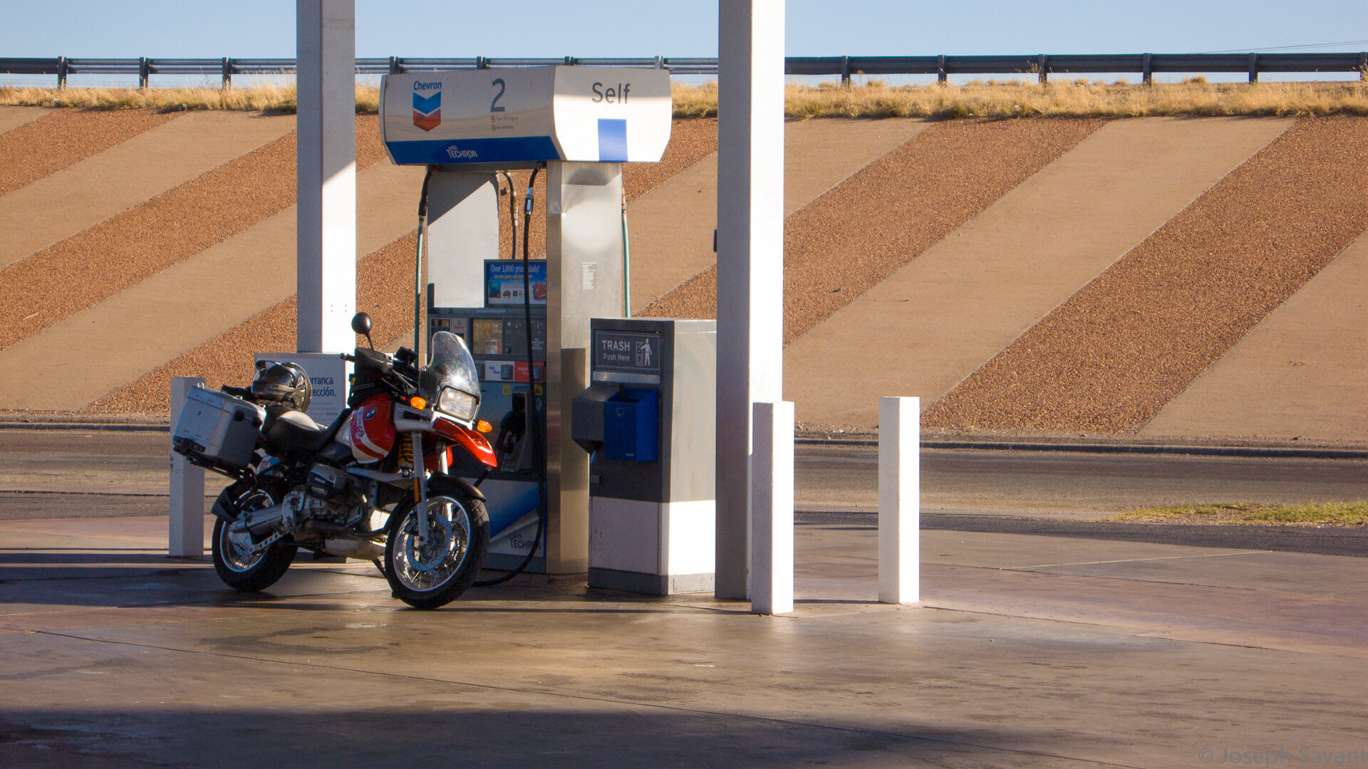
Even more excitement - gassing up in Sonora
I filled up at the so-called "7-11" there and tho the signs look to be an actual 7-11, I'm not so sure it isn't a cheap Chinese knock off. It was the dirtiest version I've ever seen, but that didn't stop me from having a classic road trip breakfast.
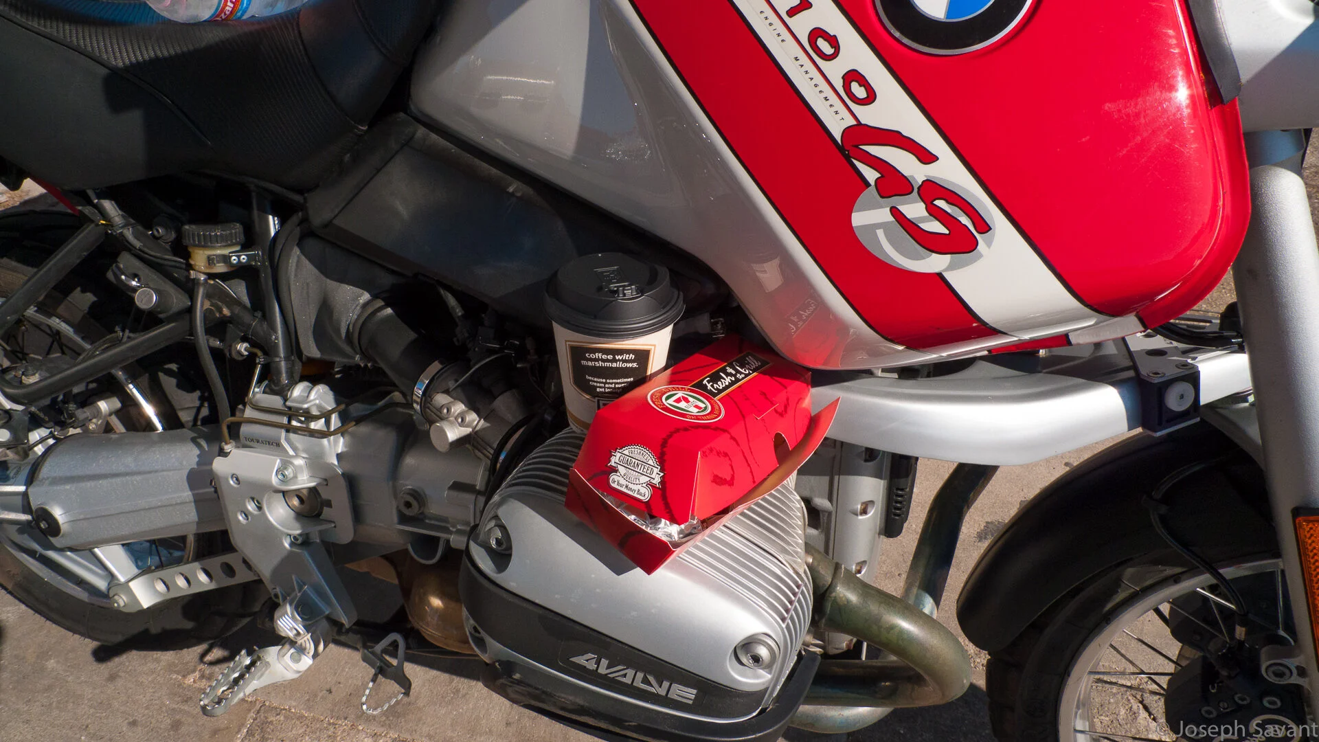
Coffee and hot dog warming on Beemer cylinder heads... yuuuuuumaaay!
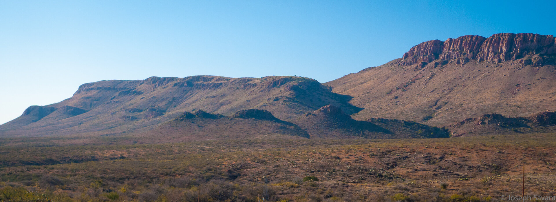
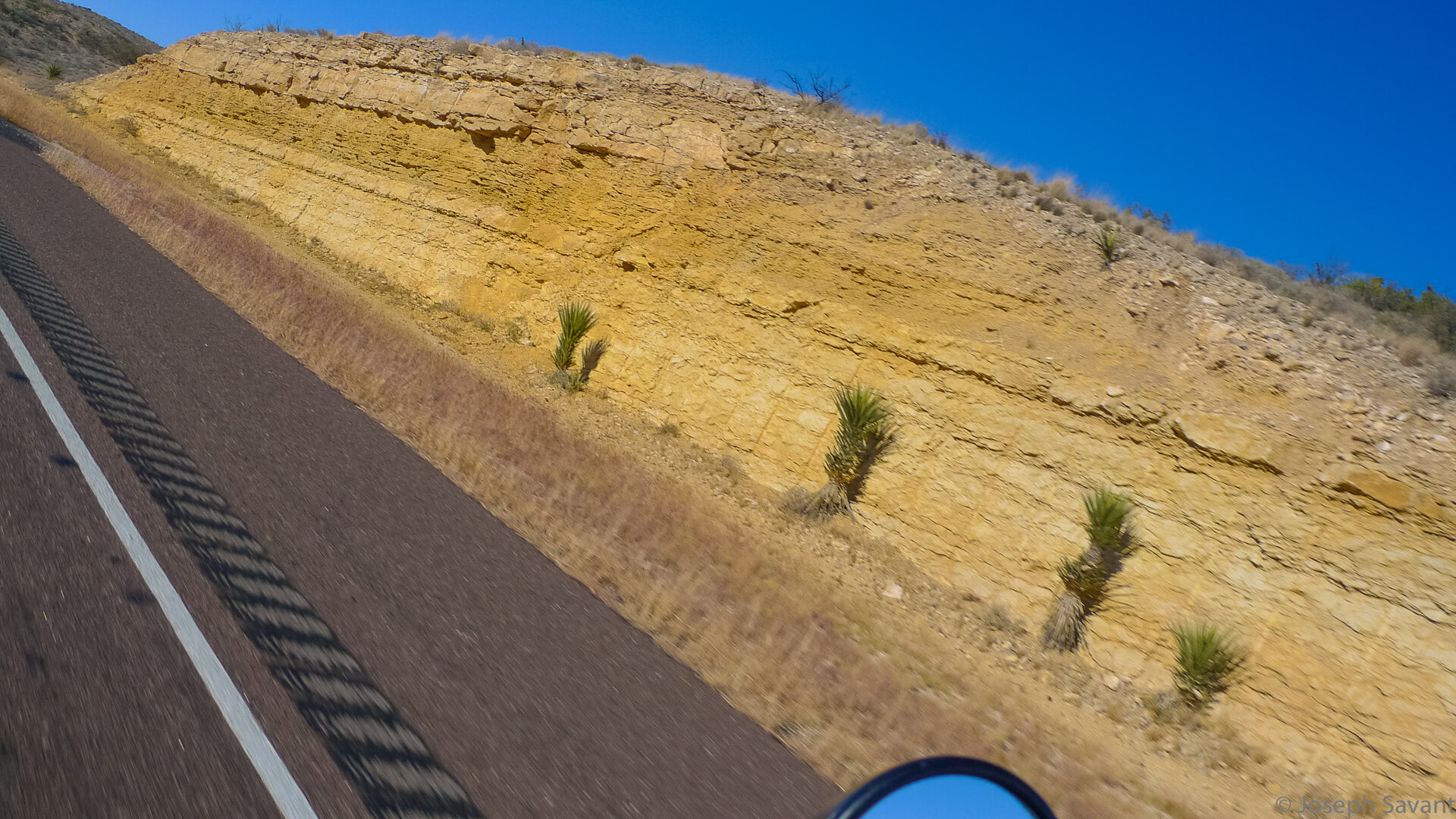
From Junction, the terrain slowly changes from the green, juniper-covered hills to larger vistas and plateaus west of Sonora. I hear folks complain about the flatness of west Texas but I'm not sure why. Sure, the highway meanders through the flat valleys, but the hills and plateaus around are beautiful and there are great vistas most of the way.


By the time Ozona slid past, the temps were beginning to warm up a bit from the sun, and as I reached the giant windfarms out near Ira’an, I could tell it was about time to shed the cold weather gloves and remove the liner from my jacket.
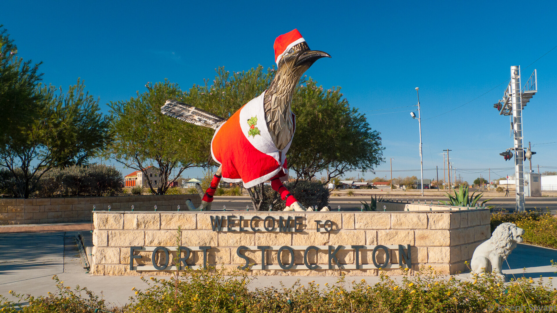
I was eyeing my shrinking fuel supply and as I neared Ft. Stockton I knew it would be close... about 18 miles out, the last bar on the display disappeared and the fuel light came on. At 60 mph, I can get about 20 or so miles after the light appears, but I wasn't sure I'd make it. I carry a couple of fuel cells for emergencies, but I didn't want the bike to die on the freeway.
Finally, the first exit came up and I pulled into the Exxon. Woohoo!
I did my routine of gloves off, helmet off, earplugs out, jacket off so I could take the liner out, unsnap the tank bag and lay it back, unlock the gas cap, dig out the wallet, slide in the credit card… Debit? NO… Authorizing… Insert fuel nozzle and select fuel type, premium... SEE ATTENDANT. Aaargh!
I go inside to hear "All the pumps are down and we don't know why". Crap, these first world problems are kilin’ me.
Reverse the routine - wallet into pocket, gas cap closed, remount tank bag, put on jacket, put in ear plugs, squeeze fat head into helmet, get on bike, put on gloves, realize key is in pocket, curse loudly, take off gloves, get off bike, get key, get back on bike, put on gloves, get the bike back on the highway and hope it doesn't die before the next exit.
The next exit down, the pumps were working. After fueling and people watching for a bit, it was back on 10 for wind and buzzing handlebars.
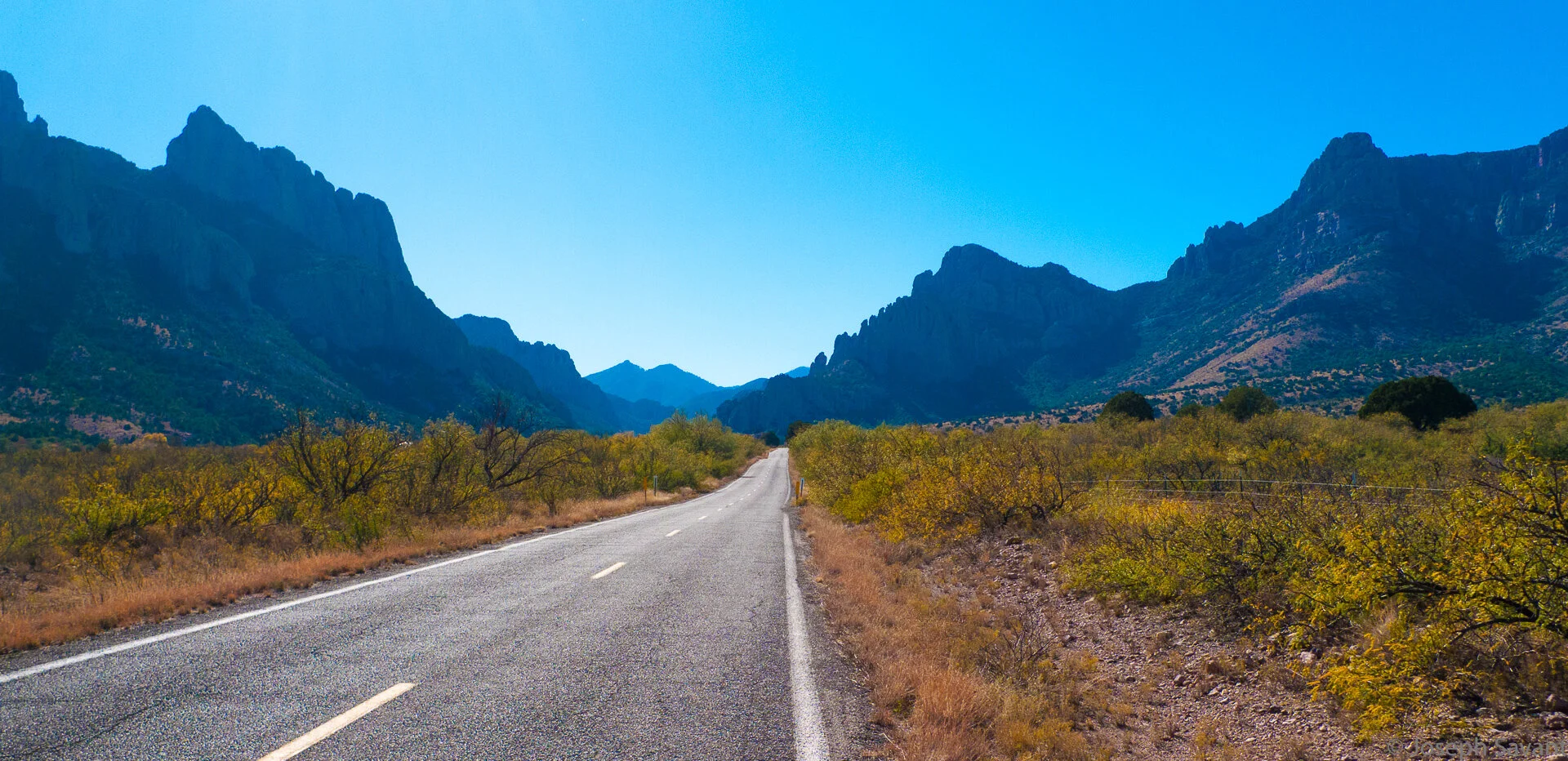
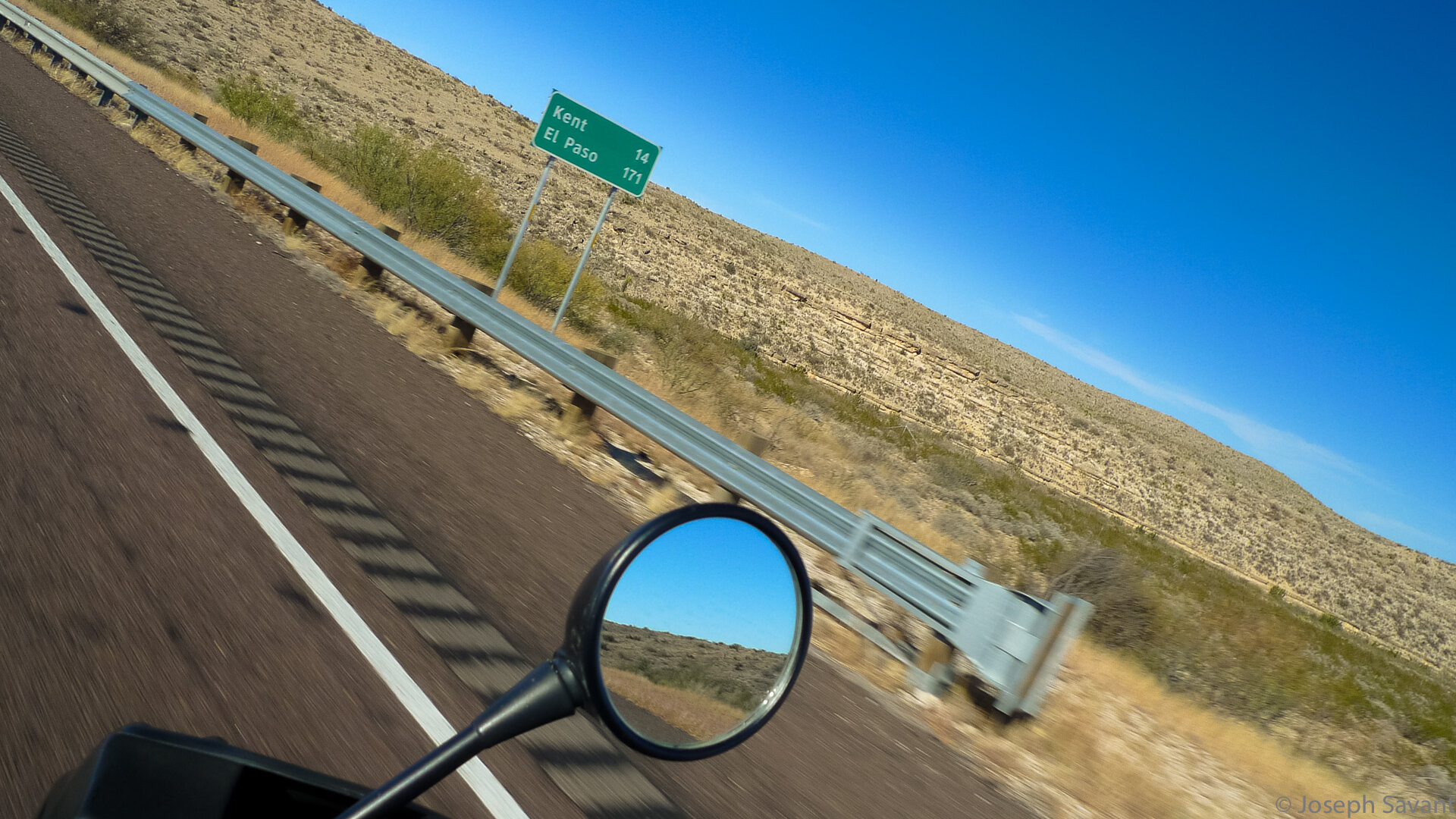
It's been a long time since I've been west of Ft. Stockton and the mountains and hills near Balmorrhea looked enticing, but no joy since I still had hours to go. At the merge of I-10 and I-20, the traffic picked up substantially as did the 18 wheelers, and the temperature in the area dropped about 10 degrees. I was now wishing I'd left my jacket liner in.

Settled in to my rhythmic boredom of 85, I saw a white car coming up fast behind me. I tried to determine if it was law enforcement, but in my buzzing mirrors I could only tell it was white. As it went past, at least 10 mph faster than me, I was shocked to see that it was a tiny SMART car. I couldn't believe it. I had no idea they could go that fast! I was tempted to stay with it, but chuckled instead... it was funny seeing such a tiny car going that fast.
Here's the screaming little Smart car:

Not too long after this, I saw both Elvis and Michael Jackson. The rumors are true! They had Big Gulps and were riding in a Kia.... probably not to attract attention.
Van Horn was next up and my gas was down. I swung through the town before topping up.


The lady clerk at the gas station wished me a Happy Thanksgiving and told me to be "extra careful on that bike". I promised I would and took off yet again, excited because El Paso was my next stop. It was the nirvana I sought, the unreachable goal, the never-ending journey, the end of a long, windy day. Was it really only 116 miles away????
As I entered the stream of trucks going west, I noticed the bike had more engine vibes than normal. Hmmm. Acceleration was groggy and the power didn't seem to be there like it usually is. I pulled off and checked the vacuum hoses on the injection side but found nothing. Eventually it cleared up and the power came back. Woohoo!
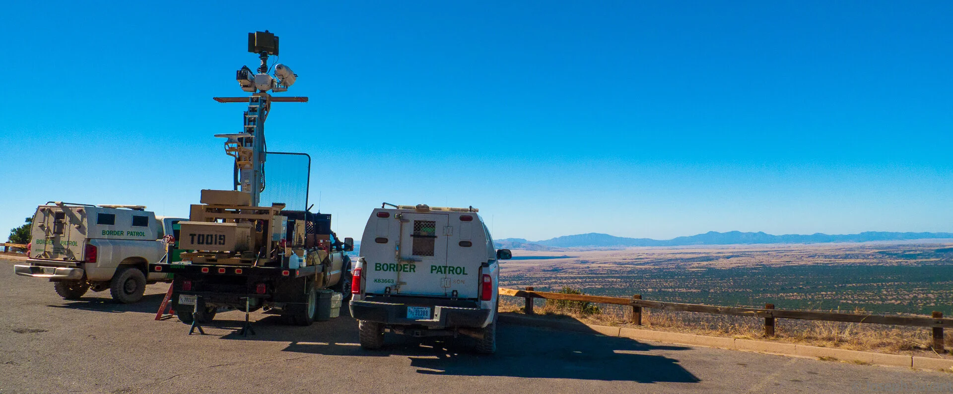
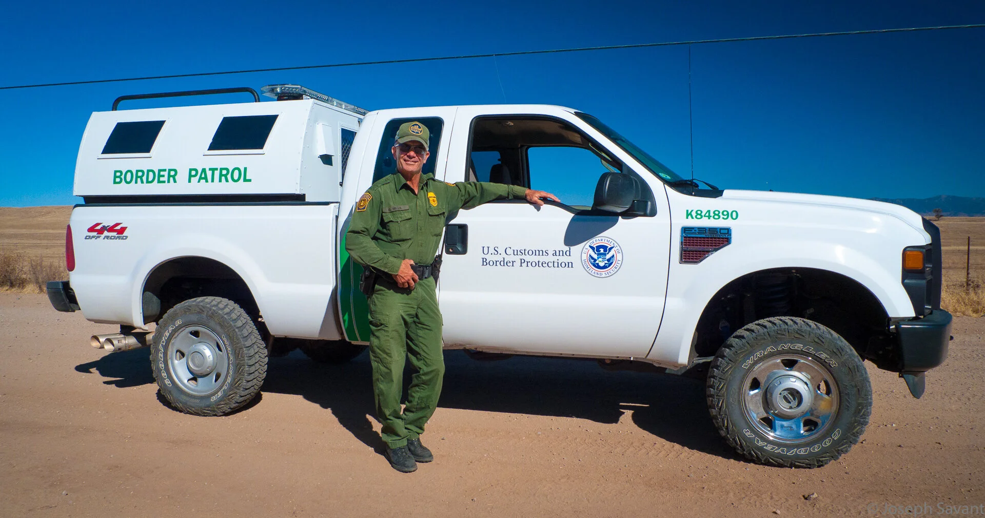
To the south, the mountain ranges in Mexico were visible in the blue haze and the slowly sinking sun. On the eastbound side of I-10, there was a large Border Patrol Checkpoint, and it appeared that all traffic on 10 has to go through…
As the range of mountains shadowing El Paso began to appear, I could see large fires to the south, the blue smoke drifting eastward across the valley. I couldn't tell if they were on the Mexican side or the U.S. side, but there were several, spaced miles apart along the river valley.
I rolled into El Paso as the sun came close to the horizon, the smoke and pollution dense and blue in Cuidad Juarez across the river and the familiar smokestacks edge-lit by the setting sun.

I had planned on going on to Las Cruces, but after 8 hrs of buffeting on the bike I decided to gas up, buy a map of New Mexico and find a place for the night. As I passed a Best Western, I saw a lone BMW R1200GS in the lot and wondered which way he was headed.

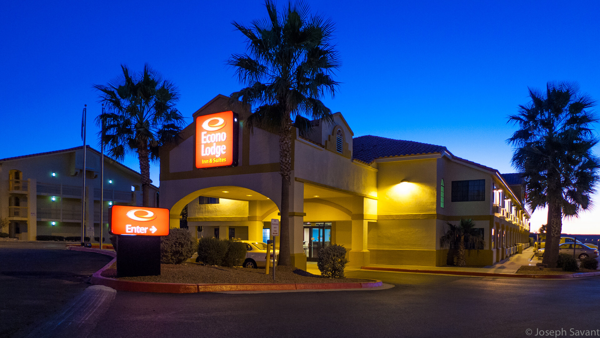
Grabbed a room at the EconoLodge, where the clerk told me I could park the bike next to the office window - always a comforting thing!


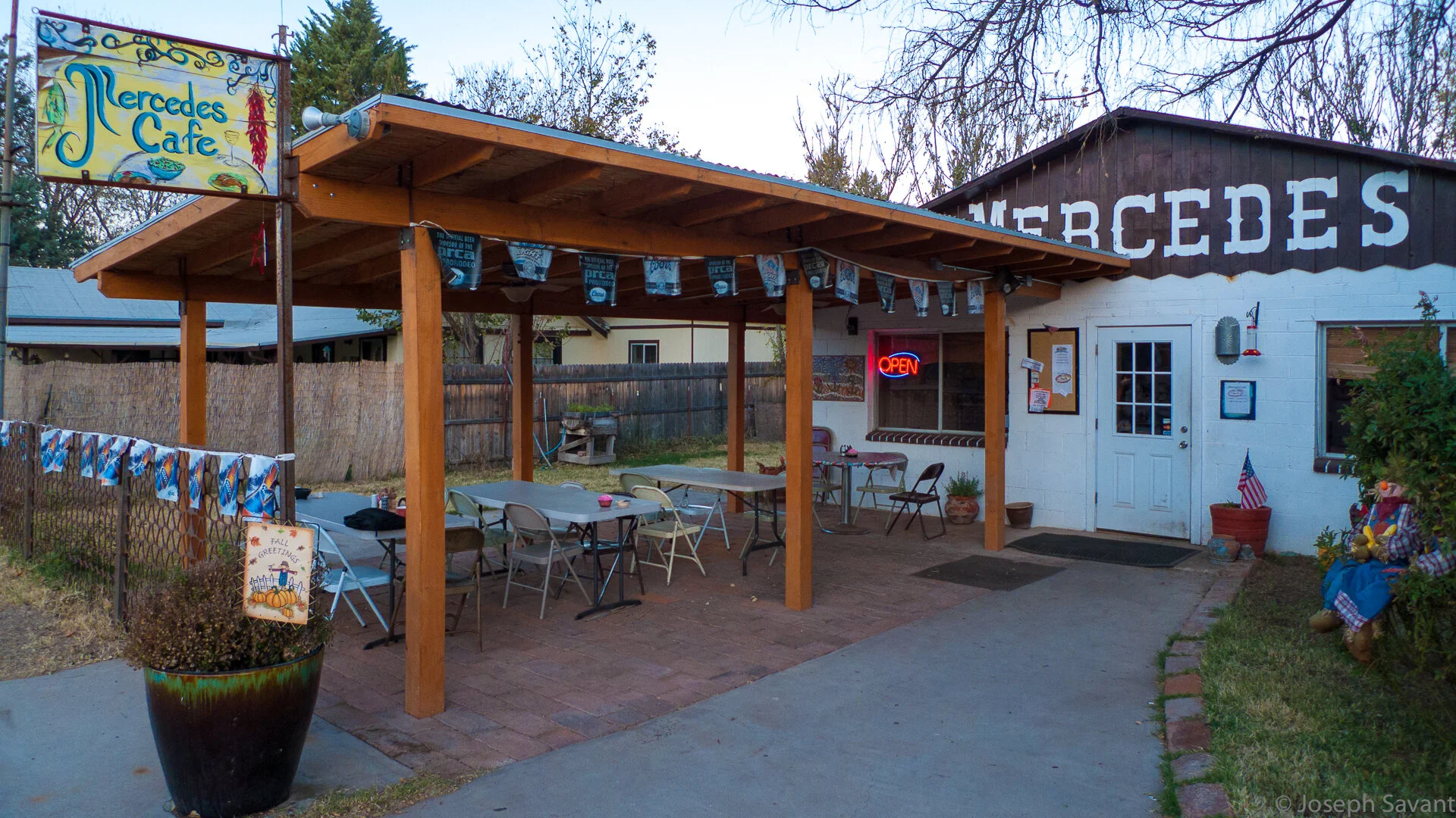
Finished the day with a great steak at the nearby Texas Roadhouse. My apologies for the lack of interesting stories and photos, but today was for making miles. We'll see what tomorrow brings!
Adios Amigos